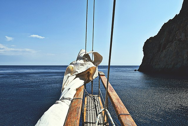
Trekking on the island of Tavolara is one of the most beautiful and spectacular excursions in all of Sardinia. 6 km hike, over 500 meters in altitude and a fantastic panorama.
The island of Tavolara is a majestic massif over 500 meters high which rises a few kilometers off the north-eastern coast of Sardinia between the municipalities of Olbia, Porto San Paolo and San Teodoro.
Is it possible to go up to Tavolara and how difficult is the excursion to the island?
There are many trekking associations in Sardinia and the most popular ones for climbing Tavolara are in the nearby villages of San Teodoro, Olbia and Porto San Paolo. From one of these places we will take a zodiac boat to the island and then start the trek leading to the top.
The excursion that leads to the top of Tavolara is mainly divided into two parts: a first part of a moderate excursion lasting 2 hours and 30 minutes and a second small equipped part that reaches the top of Punta Cannone.
You must be in excellent physical condition to complete the first part of the trek. It's also good to know that you don't have to suffer from vertigo.
The second part of the via ferrata, on the other hand, is considered easy to follow.
What is the Via Ferrata degli Angeli?
Another itinerary called Via Ferrata degli Angeli always leads to Punta Cannone but is much more difficult.
This solution is also not recommended in summer, as it is exposed to the very strong sun, typical of July and August, practically all day long.
Description of the trek
The island of Tavolara is a real mountain of limestone and dolomite which dominates the entire Gulf of Olbia; Its highest peak, Punta Cannone (564 meters), offers a breathtaking panorama of Gallura: Monte Limbara, Monte Nieddu, Montalbo and, on clear days, Caprera and the Bocche di Bonifacio.
The summit can be reached via a path that starts from the granite base of the island and climbs along the limestone cliffs until you reach a small plateau from where you face the final climb to the summit.
Arriving on the ridge of Tavolara and heading north-east, the Madonnina stands out against the blue sky that dominates the mainland.
For the return you can retrace the very well signposted outward journey or there is a very steep alternative path which can be managed very carefully with the help of some fixed ropes in as many climbs.
The trekking route is of medium difficulty, it includes equipped passages that must be tackled with technical equipment, usually provided by the organizers.


